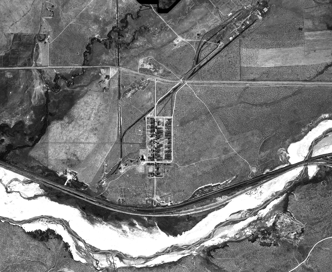
The town of Ramsay is the rectangular feature at the center of the photo. The east-west feature just north of Ramsay is the highway between Butte and Anaconda, and the structures northeast of Ramsay, on a diagonal, are the remains of the DuPont plant. Silver Bow Creek runs along the bottom of the photo flowing from right to left (east to west). The light-colored material on either side of stream is tailings washed down Silver Bow Creek from the mills and concentrators at Butte. | Source: National Archives and Records Administration, College Park, MD.Download Original File
Source
National Archives and Records Administration, College Park, MD.