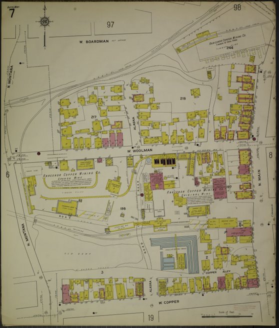
Sanborn map showing the location of the Original Mine and mineyard buildings, at the southwest corner of N. Main and W. Woolman Streets. This is a vertical photo. Click the title to view the full image. | Creator: The Sanborn Map Company | Date: 1916 | Source: Butte-Silver Bow Public Archives | Rights: Contact the source for information about copyrights and usage.Download Original File
Creator
The Sanborn Map Company
Source
Butte-Silver Bow Public Archives
Date
1916
Rights
Contact the source for information about copyrights and usage.
"1916 Sanborn Map of Original Mine Location" appears in: Original Mine